

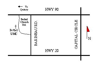
Bethel UMC is located West of Tallahassee, 1 1/2 miles past the intersection of US 90 and the Truck Route. It is on Bethel Church Road, which runs between U.S. 90 and Barrineau Road. The portion of Bethel Church Road that intersects with US 90 is now paved. After turning onto Bethel Church Road, the church is located about 1/4 mile on the right. Another approach to the church is to turn left onto Barrineau Road, travel about 1/4 mile to Bethel Church Road, then turn right. The church is located 1/4 mile on the left.
The church can also be approached from Highway 20, by turning onto Barrineau road, 2 miles west of the intersection of Hway 20 and Capital Circle, travel 3/4 mile to Bethel Church Road, then turn left. Again,the church is located 1/4 mile on the left.
MAPQUEST map of Bethel neighborhood adapted from Mapquest. (The road marked "10", for I-10, on the map is actually HWY90. The limited access I-10 parallels HWY90, or US-90, but is a bit North of its path. US-90 is designated "Tennessee Street" from mid to West Tallahassee and "Mahan Drive" East of Tallahassee.)
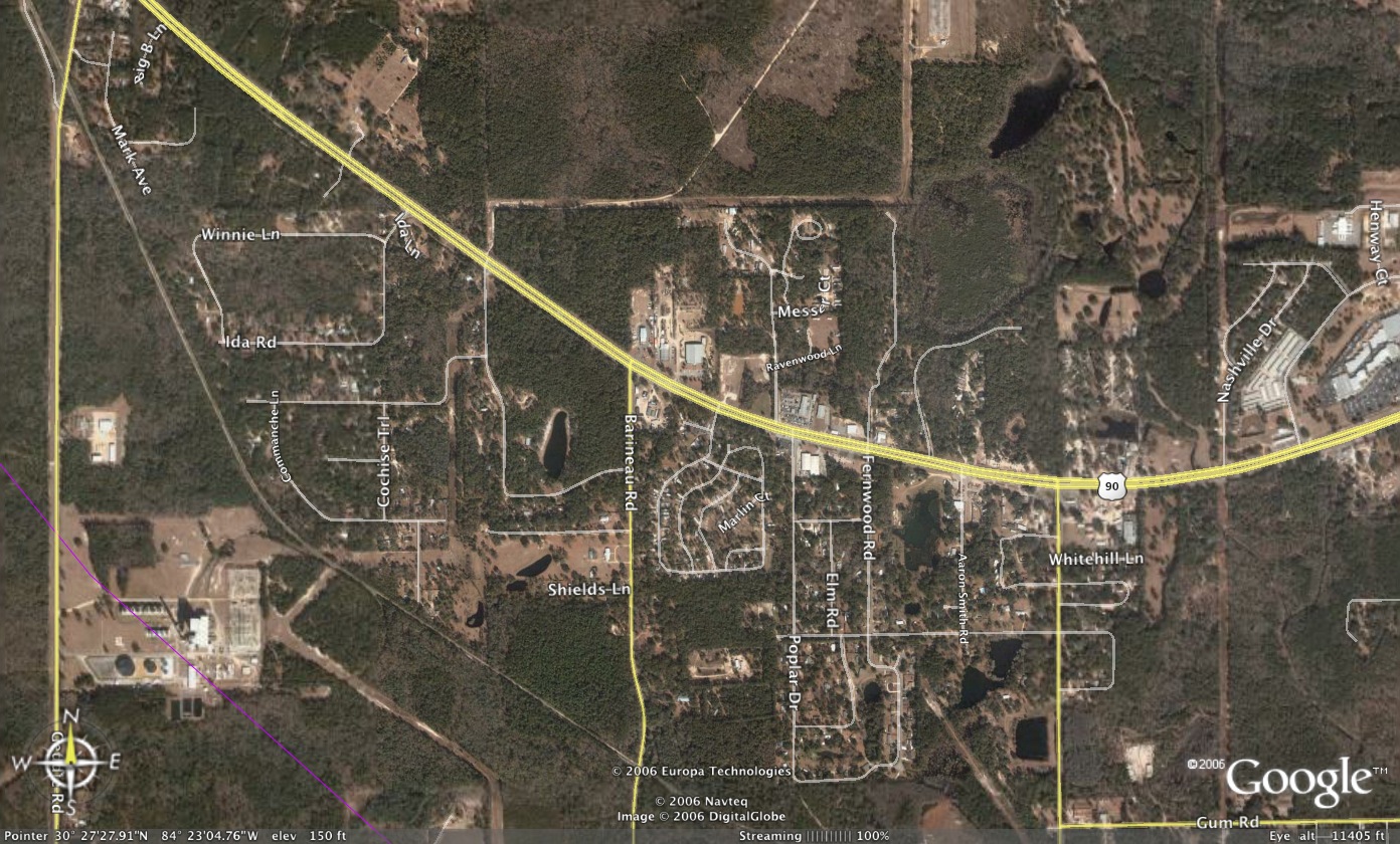
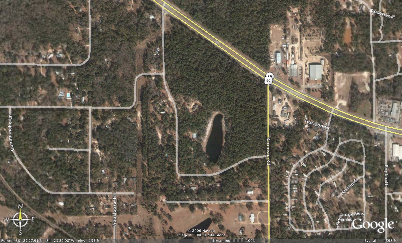
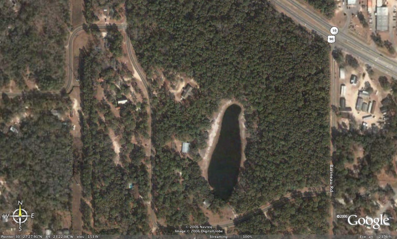
GOOGLE Earth Images providing aerial views of the Bethel neighborhood from heights of 11500 feet, 4600 feet, and 2400 feet. (Note: these are fairly large picture files of 340kB to 470kB each.)[ Home | Map | Pastor | Service | Activities | Organization | History]
If you would like to find out more about Bethel U.M.C. or have any comments about our Web pages,
please let us know by sending email to bumctlh@gmail.com.